
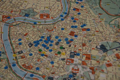
 Piante di Roma, March 2006.
Two weeks ago today I came home from one of my best trips in a long time. TH and I basically ran around Rome looking for inundation markers from a series of floods that occured over time. Not all of Rome was flooded, but when you start digging into the history, the topography, the hydrodynamics of the river and how Rome changed after the Reunification of Italy in 1870, things get interesting.
Lots of people have looked at the inundation, but not necessarily mapped it, nor really delved into why and how they were designated. This perplexes me and gives me yet another reason to go running after the ones we didn't get. I will probably put together a Google Earth Map that shows where these were, but as lovely as it is, it isn't really spatially enabled, its just a nice visual representation. I want something meatier.
Well, there is always next November or December to finish up. I could do it earlier, but why should you only have to fly two segments to Rome when you can fly three?
nm
No comments:
Post a Comment